
Context

Our customer works with smallholder farmers in some of the most remote rural regions and aims to improve water security and livelihoods.
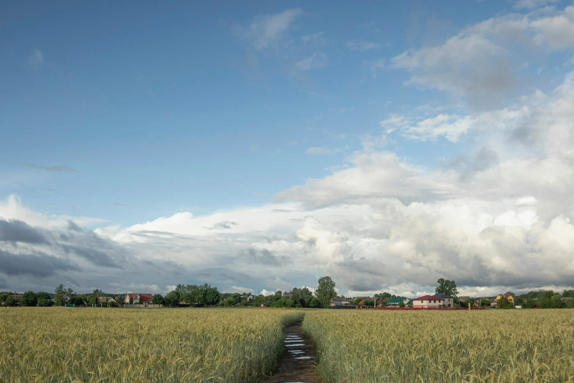
In these areas, farmers traditionally grow rice twice a year—a practice that drains water resources and drives up carbon emissions.
The organization was seeking ways to encourage farmers to adopt vegetable cultivation in the summer seasons to reduce water usage, enhance crop diversity, and promote regenerative agriculture practices.
Used high-resolution satellite imagery to enumerate all the water bodies in the region and estimated water availability.
Classified seasonal crop acreage to determine overall water demand.
Applied precise crop classification and farm boundary detection models to estimate the year-on-year change in acreage away from second rice crop and therefore the water saved.
Hornbill Ag Solution
