
Context
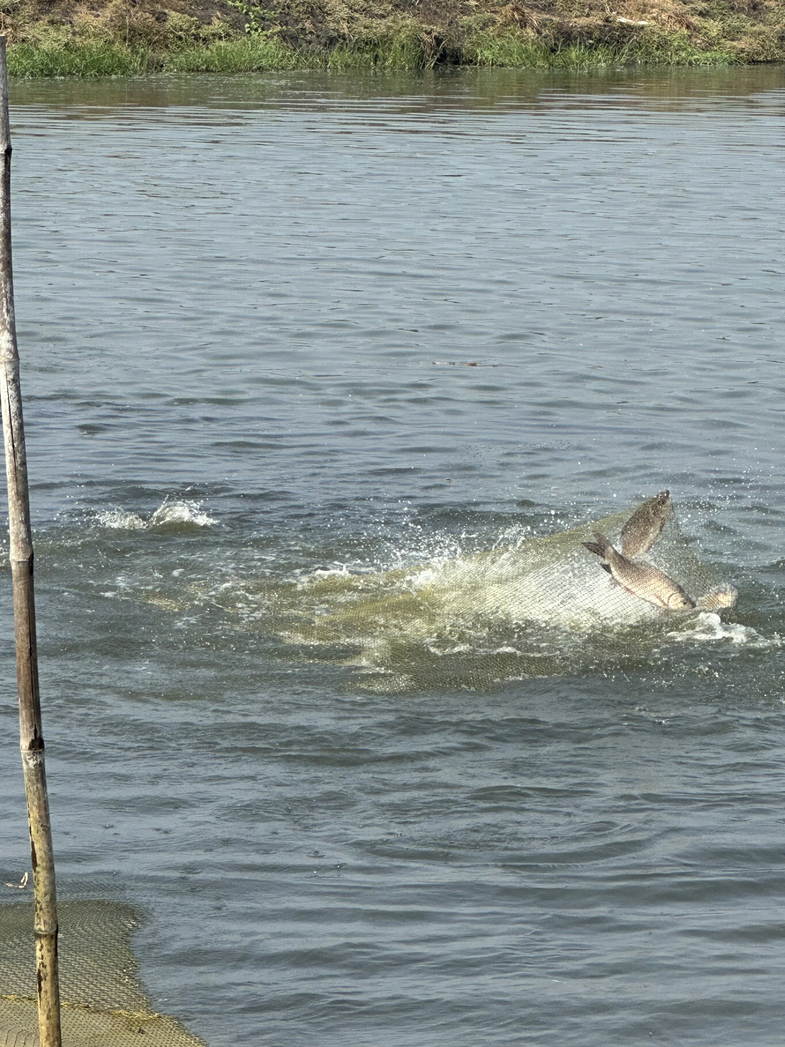
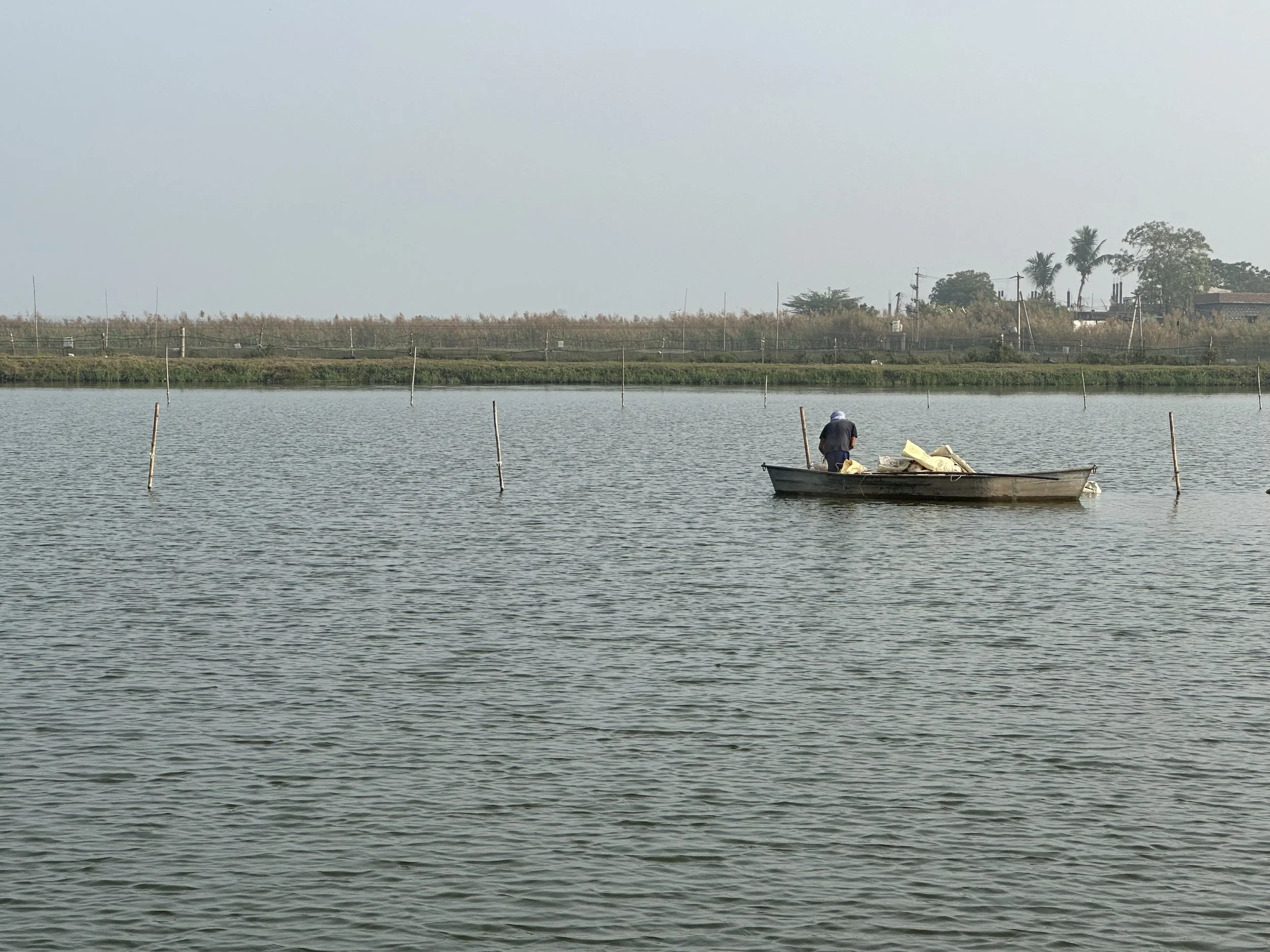
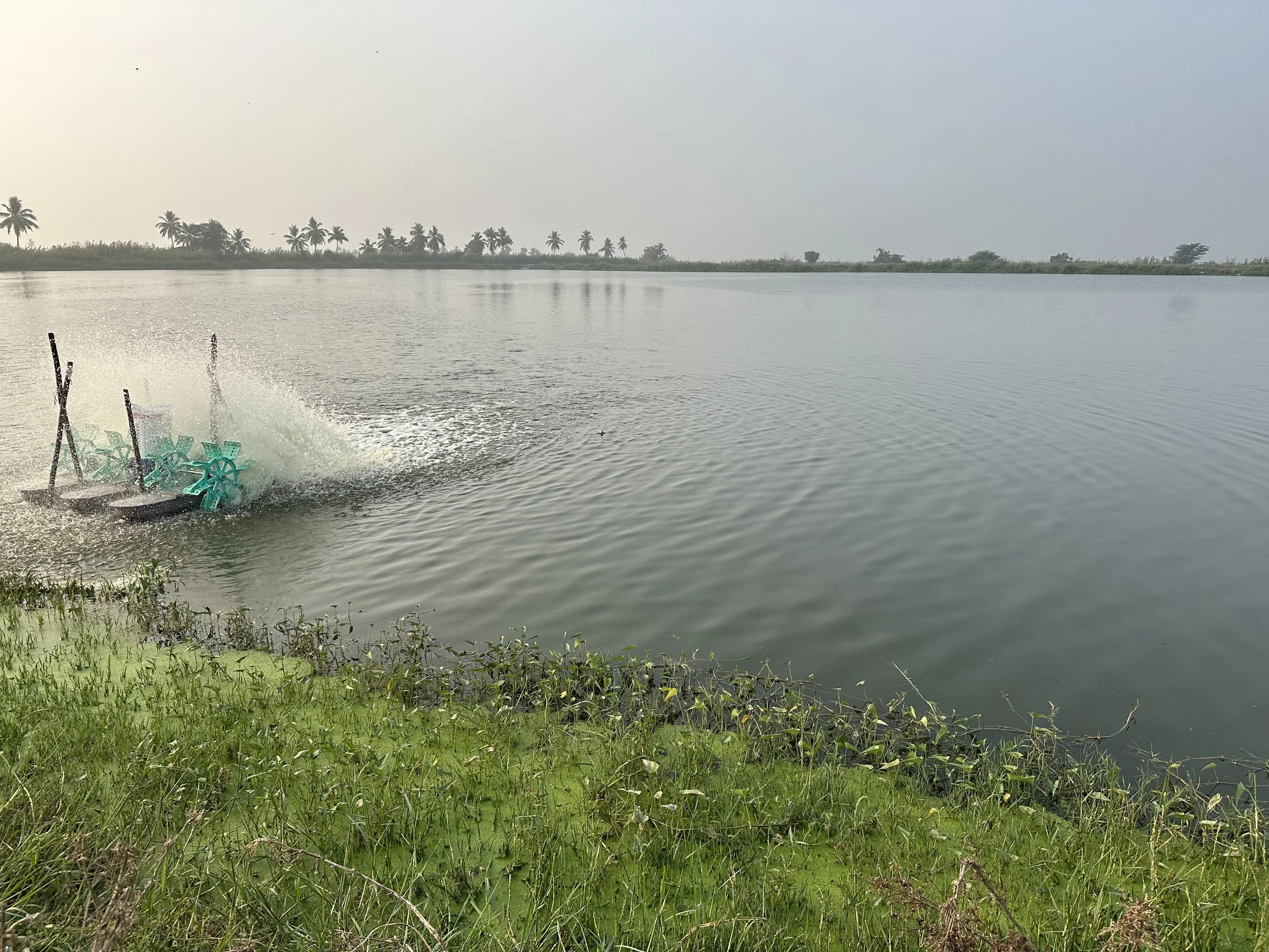
Farmers engaged in fish or shrimp farming in ponds often struggle with low yield and high animal mortality due to poor water quality.
Traditional methods require field staff collecting water samples and physically sending them to laboratories to test for ammonia, dissolved oxygen, pH etc.
While effective, these methods are expensive, time-consuming, and not scalable for frequent monitoring.
Organized past ground truth data collected by client organization on water quality into a structured dataset.
Acquired satellite images that are closest in time of when the samples were collected.
Identified relevant indices from spectral bands of satellite images that are best correlated with each physical parameter.
Built a custom machine learning model trained on historical data to predict future water quality using satellite images.
Hornbill Ag Solution